|
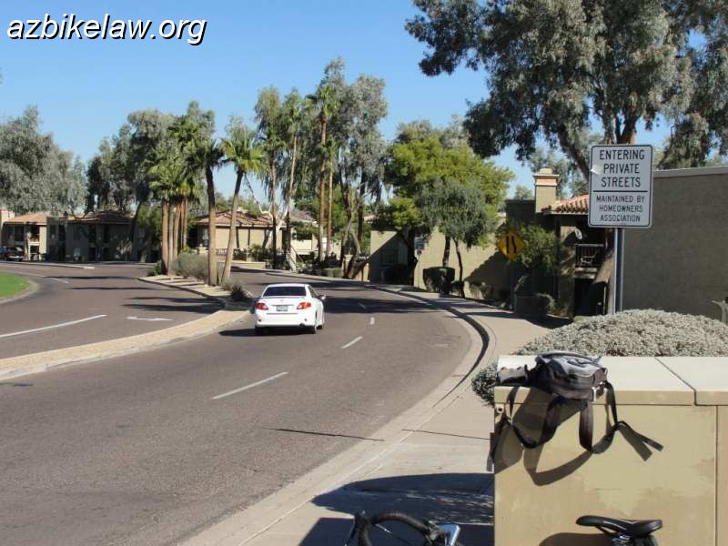 |
| Further north, the main roadway continues into the Pointe resort; changes its name again, to Pointe Parkway East, and becomes a private road (privately maintained / open to the public). the right lane quickly drops, and becomes a parking lane sortof (the signs say no parking). Ultimately this strech of road terminates at a traffic circle (roundabout?) where it rejoins 48th Street. There was some attempt (back in the timeframe when the circle was constructed) to mark this as a bike lane, Some diamond ground markings were initially painted (you can still see where diamond were marked and then quickly intentionally obliterated). In any event cyclists in this stretch tend to ride on the wide (perhaps 10') shoulder. | |
| Camera: SONY DSC-H20 | Date: 11/17/11 11:08 AM | Resolution: 800 x 600 | ISO: 80 | Exp. Time: 1/160s | Aperture: 8.0 | Focal Length: 9.6mm | |
| Total images: 30 | Help | |