|
 |
|

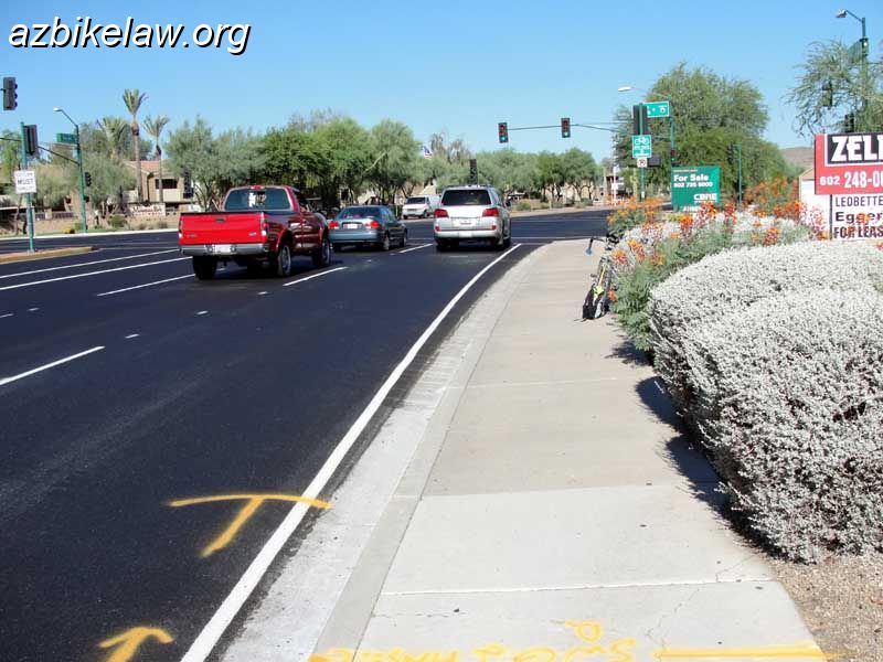
| Westbound Ray Road, just before Ranch Circle South, Phoenix, AZ. This stretch (between 44th St) formerly had an onerous edge stripe. The stripe was removed, in this small stretch, when that part of Ray Road was resurfaced in June 2010. | |
| Camera: SONY DSC-H20 | Date: 7/3/10 8:03 AM | Resolution: 800 x 600 | ISO: 80 | Exp. Time: 1/800s | Aperture: 3.5 | Focal Length: 6.3mm | |
| Total images: 62 | Help | |